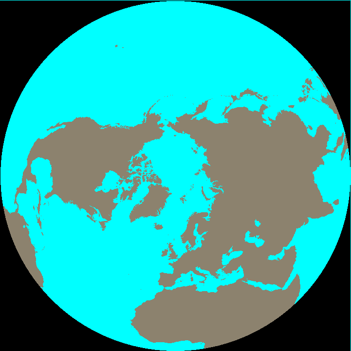
The previous version of the land masks are still available
here. That page also contains information
about the 25 km EASE grid used for all data sets.
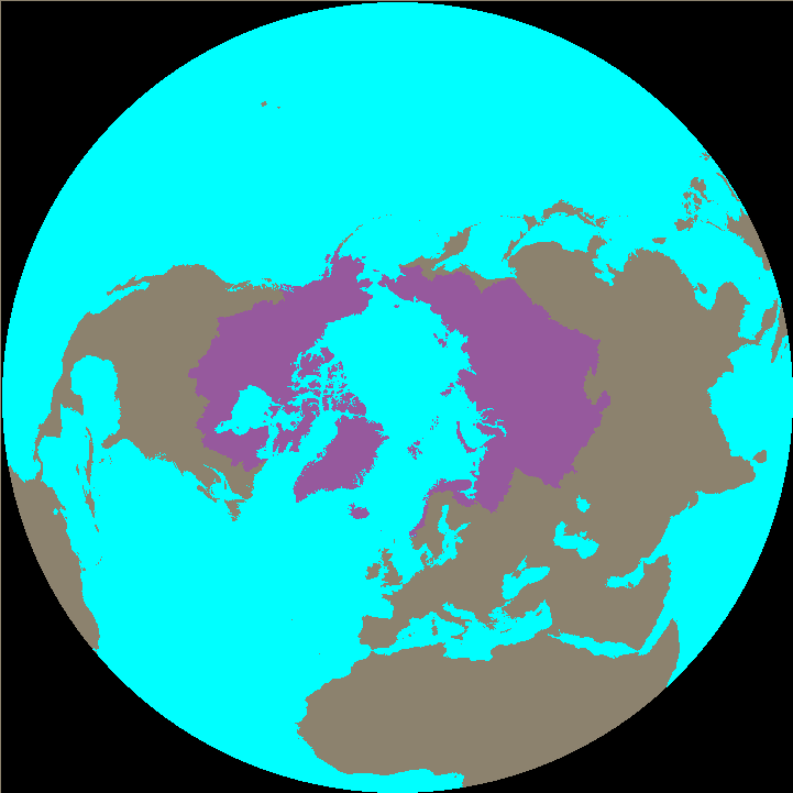
Background on the generation of the STN-EASE Network
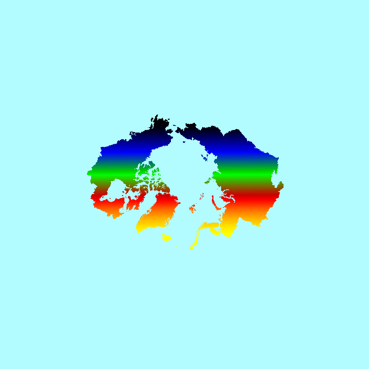
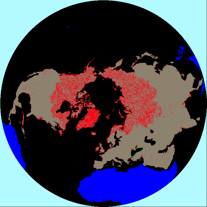
The files in this table were created based on the STN-EASE river network version 1.0. The
initial river network for North America and Eurasia was generated from Hydro1k using the
algorithm found in Fekete et al. (2001). Greenland was generated directly from an elevation
grid. Other land areas (South America, Africa and
Indonesia) were added using an ad hoc algorithm which did not necesarily preserve the
integrity of the river networks of those continents.
The network was hand edited by several individuals to arrive in the present
form. Extensive editing took place over the pan-Arctic land mass of North America and
Eurasia using the drainage areas reported for river discharge gauges in the
R-ArcticNET archive and
the DCW rivers dataset. Greenland was edited
to be consistent with the major drainage basins found in Hardy et al. (2000).
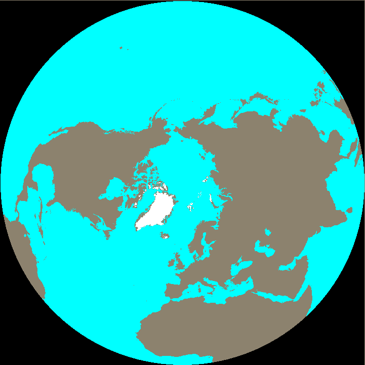
All coastlines were reviewed, and in some cases, heavily edited using an ArcWorld Coastlines
dataset.
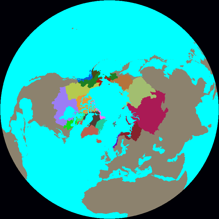
Use this data set for:
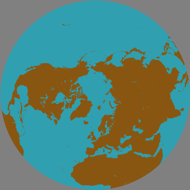
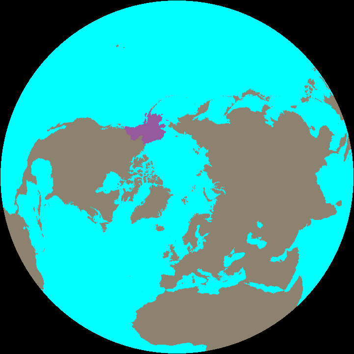
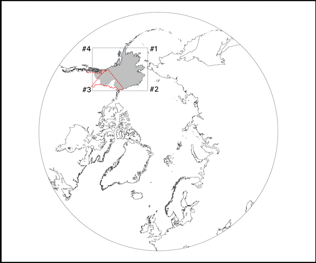
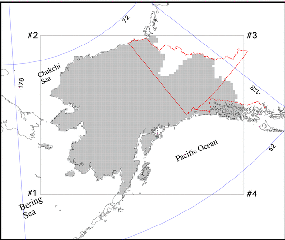
Use this data set for the land mask in North America and Eurasia and land surface connectivity
to the oceans for the pan-Arctic (rivers).
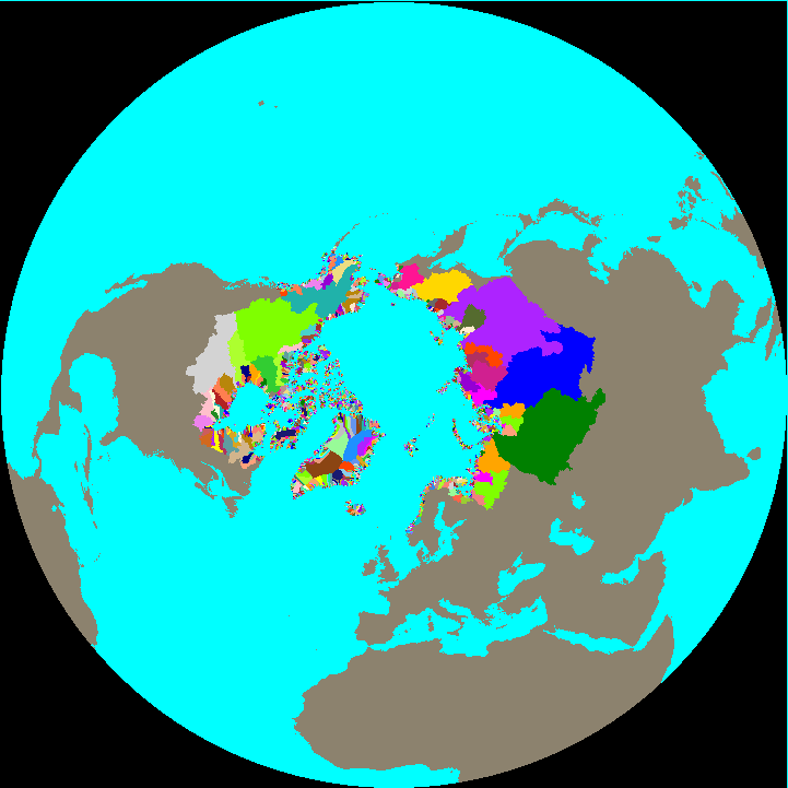
Do not use this data set for:
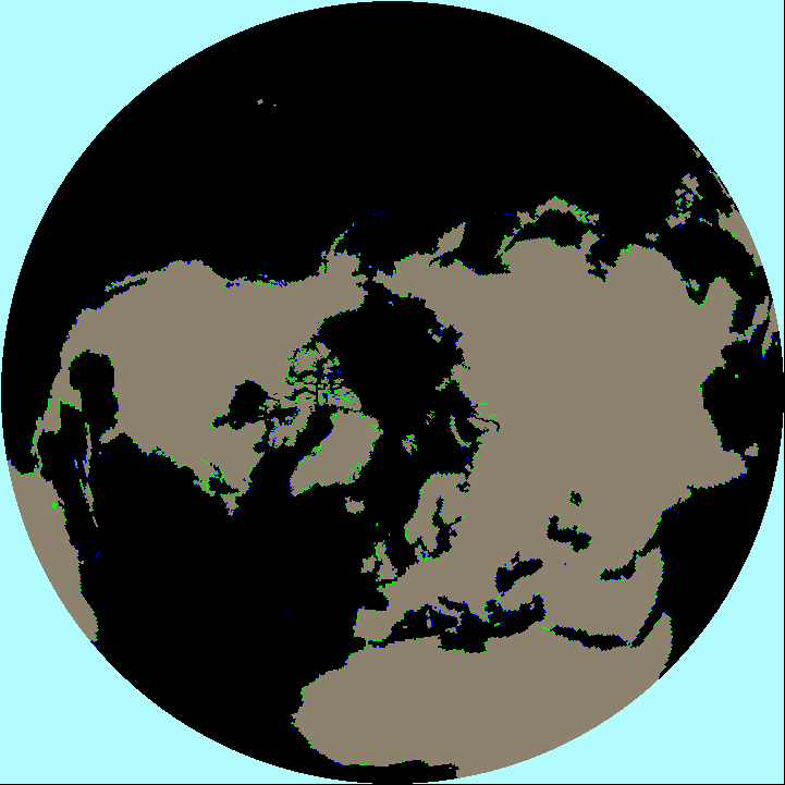
Do not rely on this data set to provide accurate representations of the equatorial continents
or any river networks outside of the pan-Arctic drainage system. If you need a river network
for these regions use the global
STN-30p in a geographic projection.
References:
Fekete, B.M., C.J. Vörösmarty and R.B. Lammers (2001) Scaling gridded river
networks for macroscale hydrology: Development, analysis, and control of error,
Water Resources Research, 37(7):1955-1967.
Hardy, R.J., J.L. Bamber, and S. Orford (2000) The delineation of drainage basins on the
Greenland ice sheet for mass-balance analyses using a combined modelling and geographical
information system approach, Hydrological Processes, 14:1931-1941.
